Six Types of Maps with Simple Definitions - Honey Lemon
 By Educo
Price in USD. Local taxes calculated at checkout.
Buy 3 or more, save 20% from this shop
- 1 ZIP download · PNG, PDF, ZIP formats · 18×24 · 11×17 · Letter · A4 · 150 DPI
- Buyer protection. Corrupt or mismatched files? Full refund.
Item details
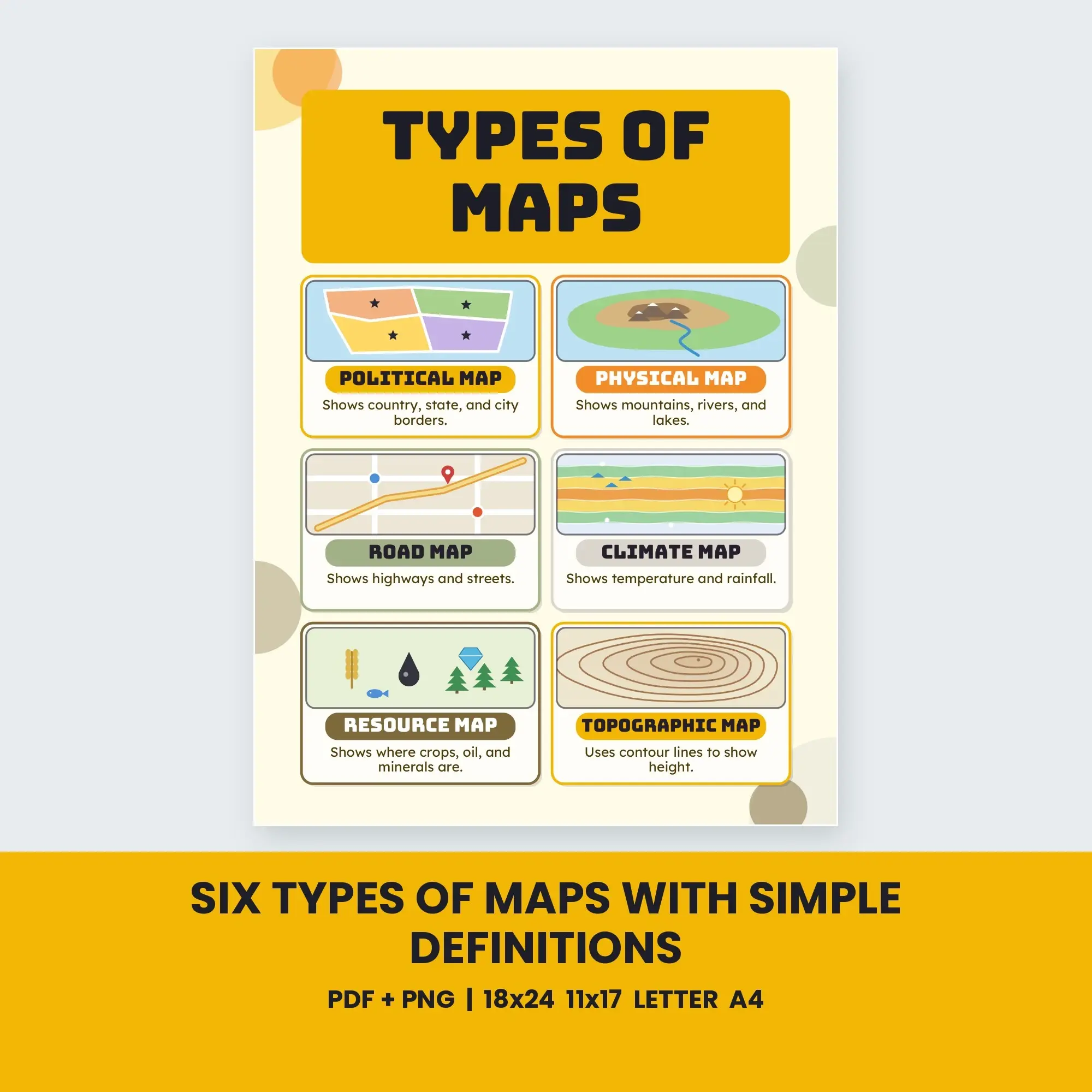
Six Types of Maps with Simple Definitions. One classroom reference poster.
Six cards, each with a small drawn sample: Political, Physical, Road, Climate, Resource, and Topographic maps. Each card has a one-sentence definition, for example "Uses contour lines to show how high or steep the land is."
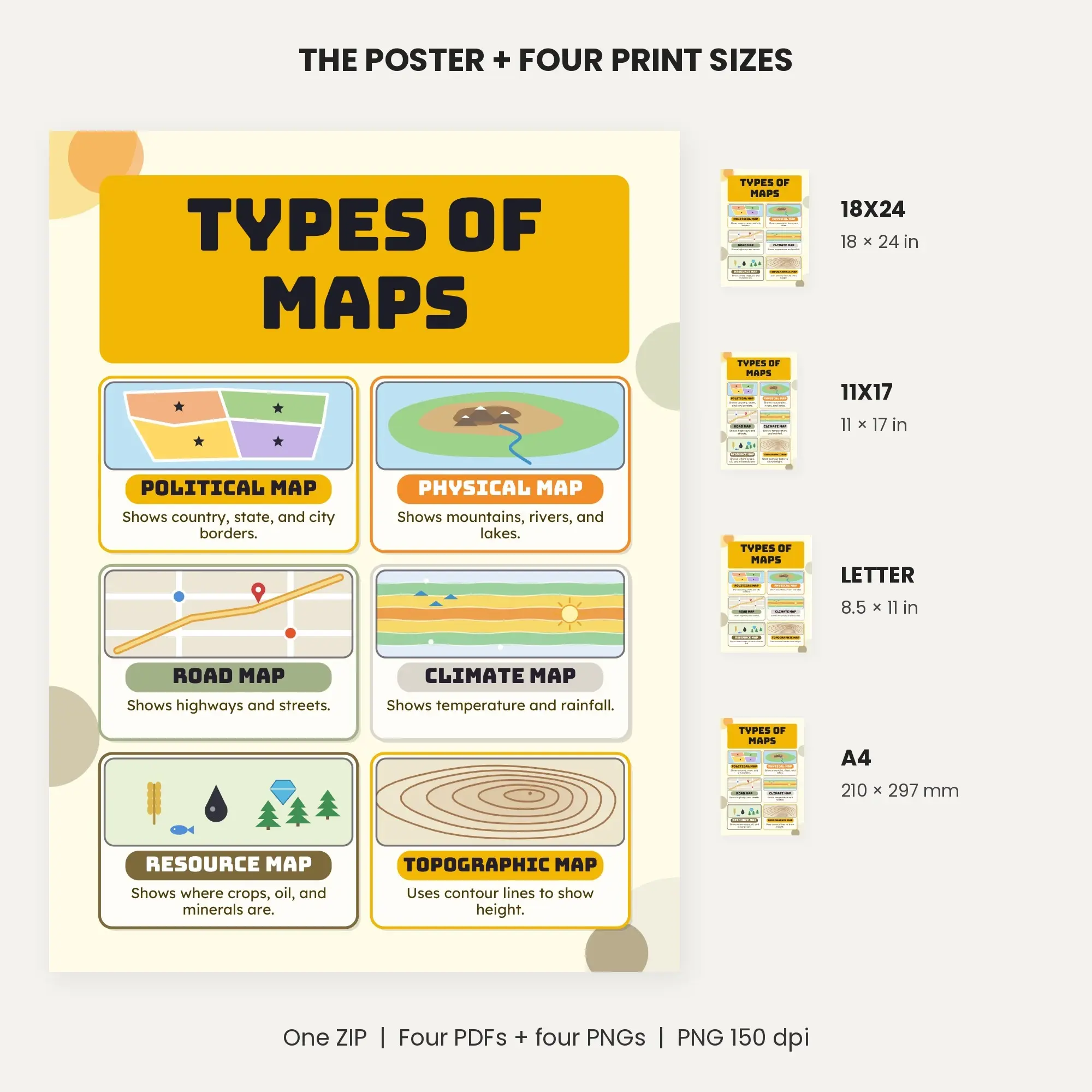
One ZIP contains the complete download. Inside are 4 PNGs at 150 dpi and four print-ready PDFs (1 page(s) per PDF): 18 × 24 inches, 11 × 17 inches, Letter 8.5 × 11 inches, and A4 210 × 297 mm. Image pixels: 18x24 2700×3600; 11x17 1650×2550; Letter 1275×1650; A4 1241×1754.
The Honey Lemon colors shown in the preview appear in the supplied artwork. Print a prepared PDF at actual size, or show a PNG on a classroom screen. This purchase supplies digital files.
File specs
| Formats | PNG, PDF, ZIP |
|---|---|
| Dimensions | 18×24 · 11×17 · Letter · A4 |
| Resolution | 150 DPI |
| Color space | sRGB |
| Downloadable files | 1 ZIP download · PNG, PDF, ZIP formats |
| Category | Printable Wall Art |
| Last updated |
What you’ll download
- zipsix-types-of-maps-with-simple-definitions-posters.zip1.3 MB
License and usage
- Personal · $3.49
- Use the files in your own non-commercial projects: home prints, gifts, personal social posts and school work. Anything made with them can’t be sold.
- Commercial · $7.98
- Use the files in client work and in products you sell, up to 5,000 units across all products. Credit is appreciated but not required.
No license allows reselling, sharing or redistributing the original files as they are, including in free packs or AI training sets.