Map Scale Explained: Inches and Miles - Navy and Coral
 By Educo
Price in USD. Local taxes calculated at checkout.
Buy 3 or more, save 20% from this shop
- 1 ZIP download · PNG, PDF, ZIP formats · 18×24 · 11×17 · Letter · A4 · 150 DPI
- Buyer protection. Corrupt or mismatched files? Full refund.
Item details
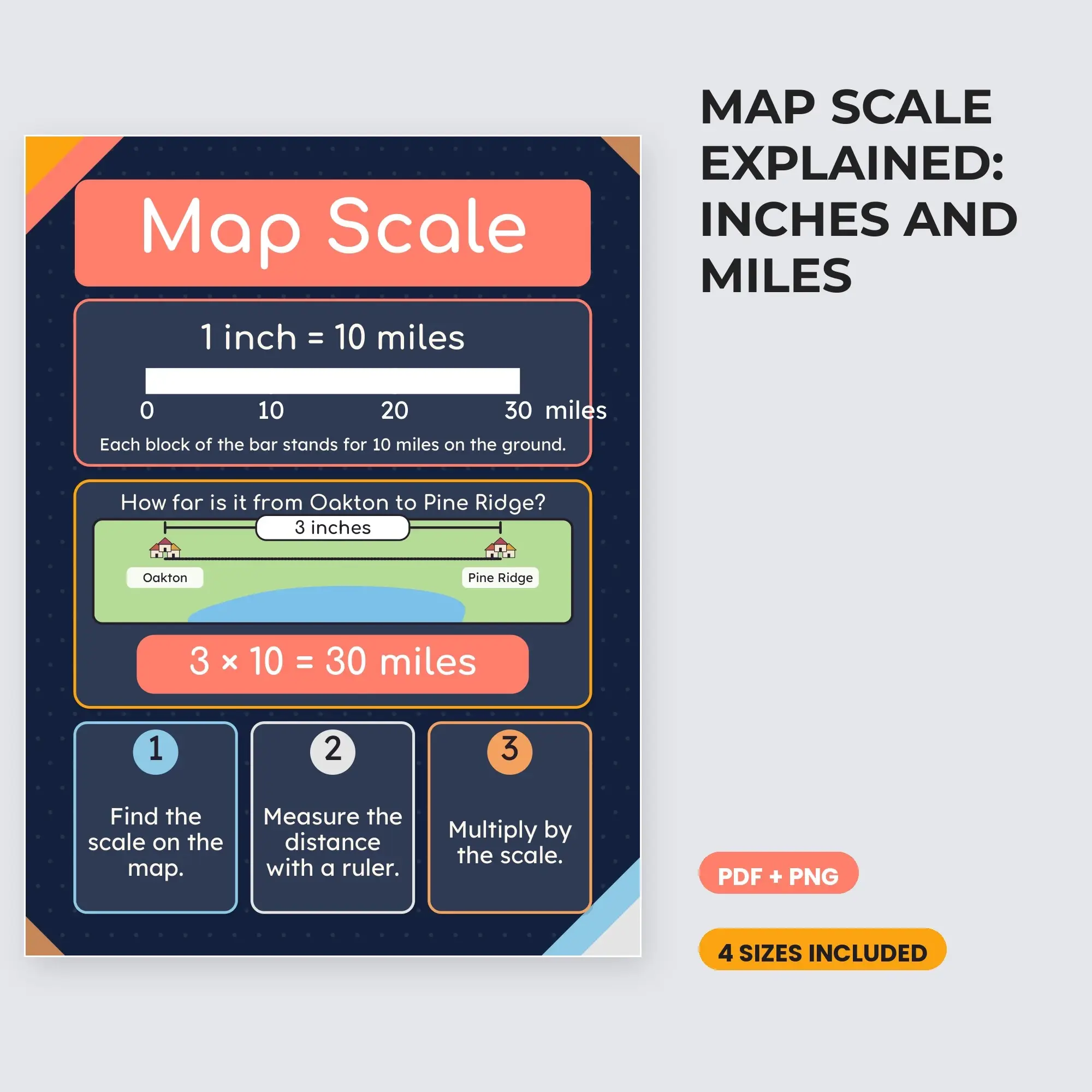
Map Scale Explained: Inches and Miles. One classroom reference poster.
A scale bar marked 0, 10, 20, and 30 miles sits under the rule "1 inch = 10 miles". A worked example measures 3 inches between two towns, Oakton and Pine Ridge, and shows 3 × 10 = 30 miles. Three numbered steps finish the poster: find the scale, measure with a ruler, multiply by the scale.
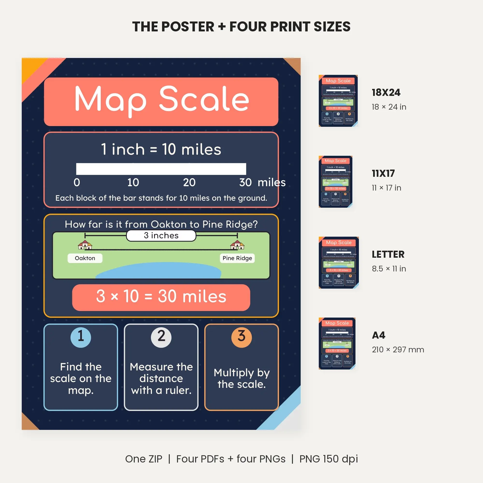
Everything is packaged in one ZIP archive: The PDF folder contains four print-size PDFs with 1 page(s) apiece, and The PNG subfolders contain 4 images at 150 dpi. Sizes included: 18×24 in, 11×17 in, US Letter, A4. Image pixels: 18x24 2700×3600; 11x17 1650×2550; Letter 1275×1650; A4 1241×1754.
This edition uses Navy and Coral colors and the illustrated layout in the previews. Open the ZIP after download, then select a PDF matching your paper. The images can also be used in lesson slides.
File specs
| Formats | PNG, PDF, ZIP |
|---|---|
| Dimensions | 18×24 · 11×17 · Letter · A4 |
| Resolution | 150 DPI |
| Color space | sRGB |
| Downloadable files | 1 ZIP download · PNG, PDF, ZIP formats |
| Category | Printable Wall Art |
| Last updated |
What you’ll download
- zipmap-scale-explained-inches-and-miles-posters.zip1.2 MB
License and usage
- Personal · $2.49
- Use the files in your own non-commercial projects: home prints, gifts, personal social posts and school work. Anything made with them can’t be sold.
- Commercial · $5.98
- Use the files in client work and in products you sell, up to 5,000 units across all products. Credit is appreciated but not required.
No license allows reselling, sharing or redistributing the original files as they are, including in free packs or AI training sets.