Latitude and Longitude on a Globe Grid - Pool Party
 By Educo
Price in USD. Local taxes calculated at checkout.
Buy 3 or more, save 20% from this shop
- 1 ZIP download · PNG, PDF, ZIP formats · 18×24 · 11×17 · Letter · A4 · 150 DPI
- Buyer protection. Corrupt or mismatched files? Full refund.
Item details
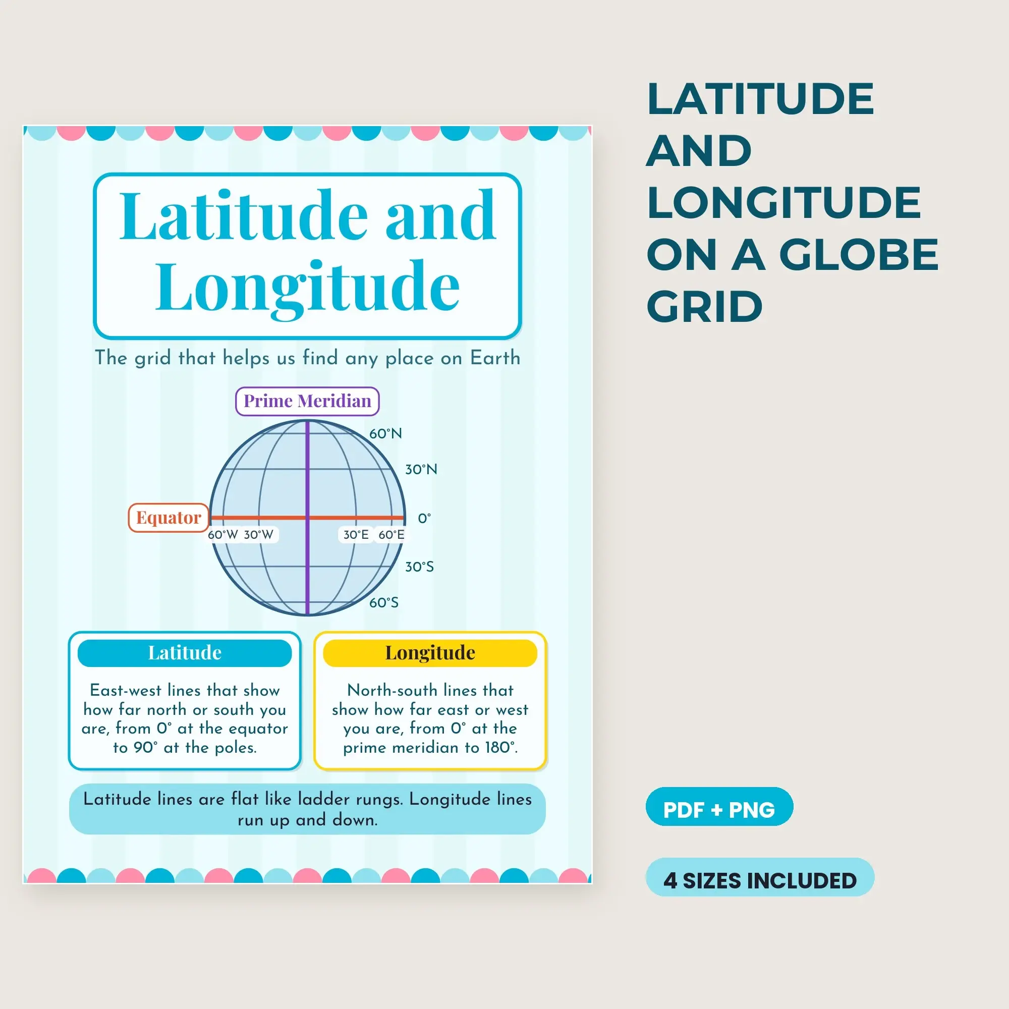
Latitude and Longitude on a Globe Grid. One classroom reference poster.
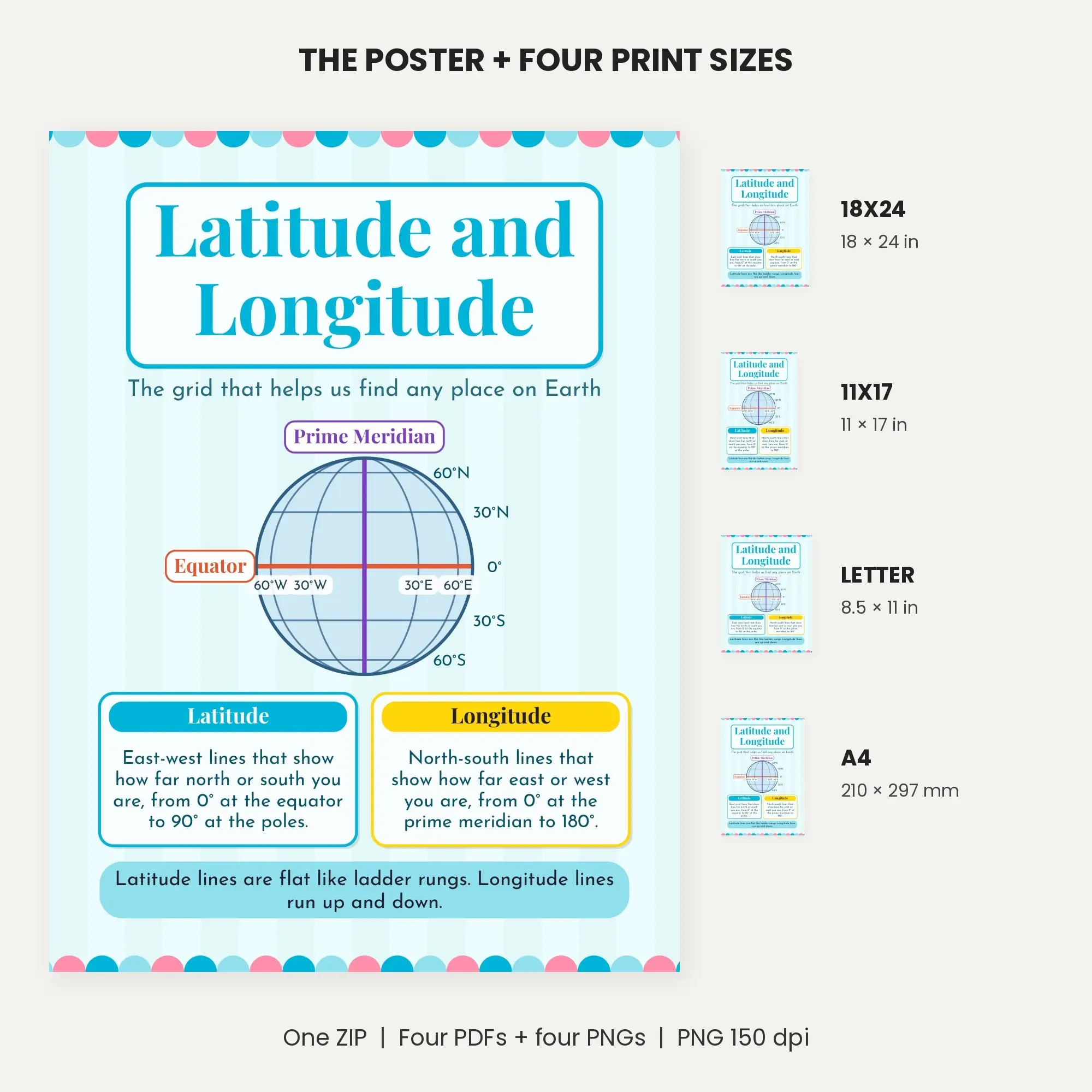
A globe grid with lines every 30° highlights the equator (0° latitude) and the prime meridian (0° longitude) in different colors. Labels run from 60°N to 60°S along the side and 60°W to 60°E along the equator. Two cards explain latitude (east-west lines, 0° to 90°) and longitude (north-south lines, 0° to 180°). A reminder strip reads "Latitude lines are flat like ladder rungs. Longitude lines run up and down."
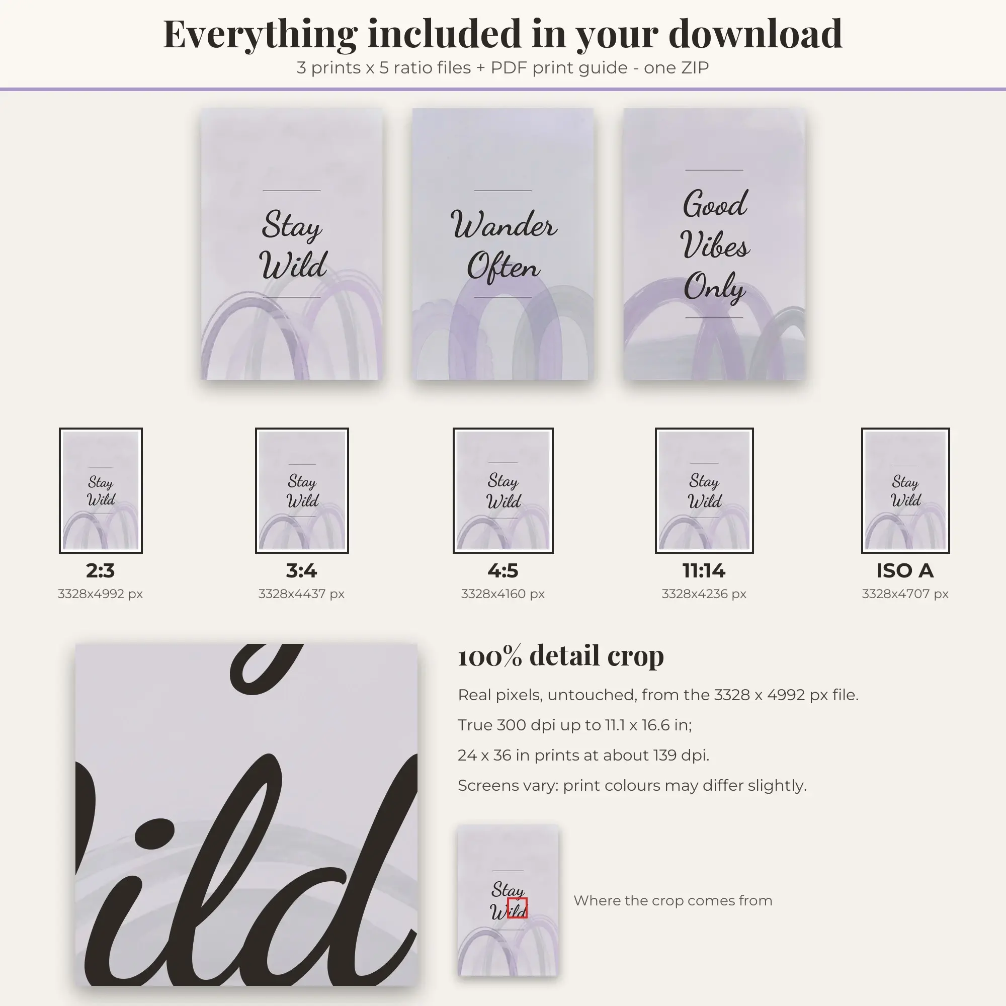
Download one ZIP with four embedded-font PDFs and 4 PNG images. Each PDF includes 1 page(s); sizes are 18 by 24 inches, 11 by 17 inches, US Letter, and A4. The PNG copies reproduce the same pages at 150 dpi. Image pixels: 18x24 2700×3600; 11x17 1650×2550; Letter 1275×1650; A4 1241×1754.
The Pool Party colors shown in the preview appear in the supplied artwork. Open the ZIP after download, then select a PDF matching your paper. The images can also be used in lesson slides.
File specs
| Formats | PNG, PDF, ZIP |
|---|---|
| Dimensions | 18×24 · 11×17 · Letter · A4 |
| Resolution | 150 DPI |
| Color space | sRGB |
| Downloadable files | 1 ZIP download · PNG, PDF, ZIP formats |
| Category | Printable Wall Art |
| Last updated |
What you’ll download
- ziplatitude-and-longitude-on-a-globe-grid-posters.zip1.3 MB
Usage
Educo states how these files may be used in the listing description. Check it before you buy, and message the shop if you’re unsure.
Reselling, sharing or redistributing the original files as they are isn’t allowed, including in free packs or AI training sets.