Map and Landscape Skills Icons - Rounded Outline
 By Educo
Price in USD. Local taxes calculated at checkout.
Buy 3 or more, save 20% from this shop
- 1 ZIP download · PNG, SVG, JSON, TXT, ZIP formats · 24-unit SVG; PNG 64, 256, 512 px
- Buyer protection. Corrupt or mismatched files? Full refund.
Item details
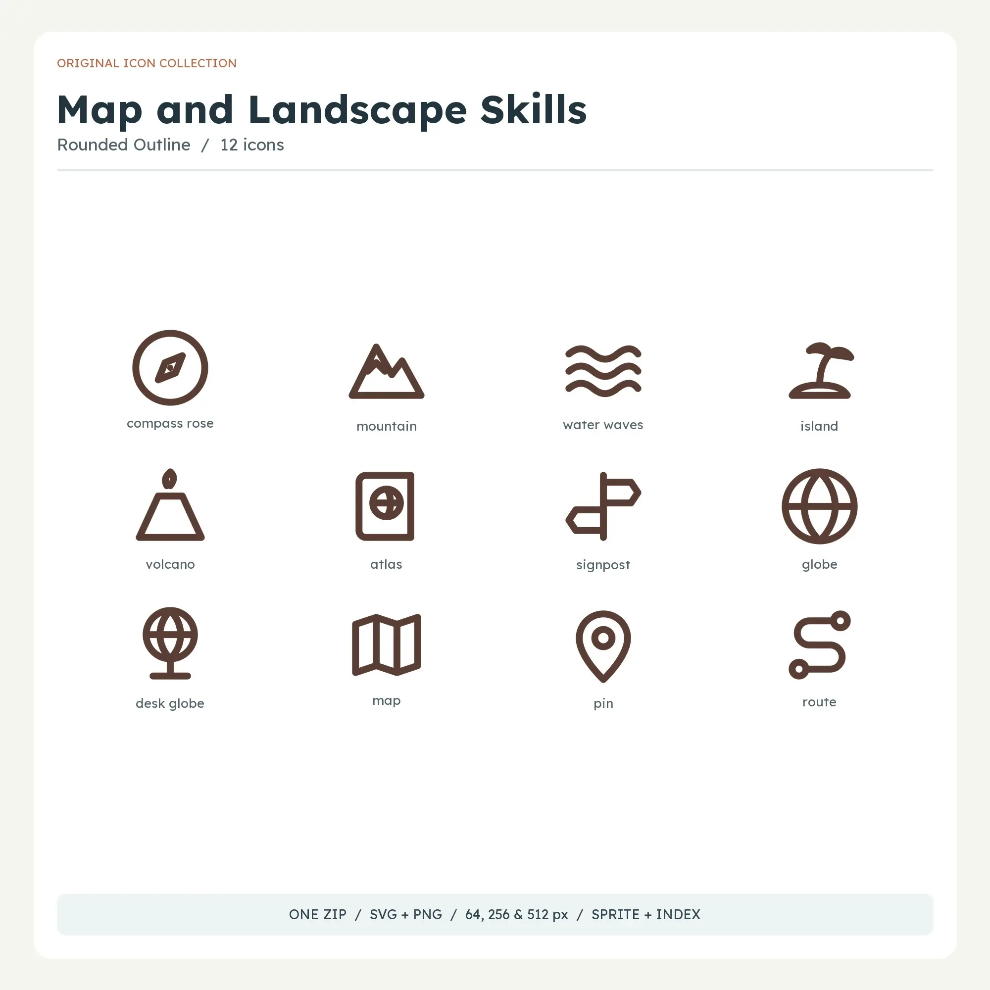
This rounded outline edition of map and landscape skills groups 12 drawings in a clay palette. Pair map-reading tools with recognizable terrain. Direction, location, water and elevation symbols make a useful visual key for introductory geography worksheets and field-trip notes that need both a place and a route.
Rounded caps and a fuller line weight give these drawings a friendly, substantial appearance. This edition works well on activity cards, large section labels and visual choices that need to be easy to spot.
Included drawings: compass rose, mountain, water waves, island, volcano, atlas, signpost, globe, desk globe, map, pin, route.
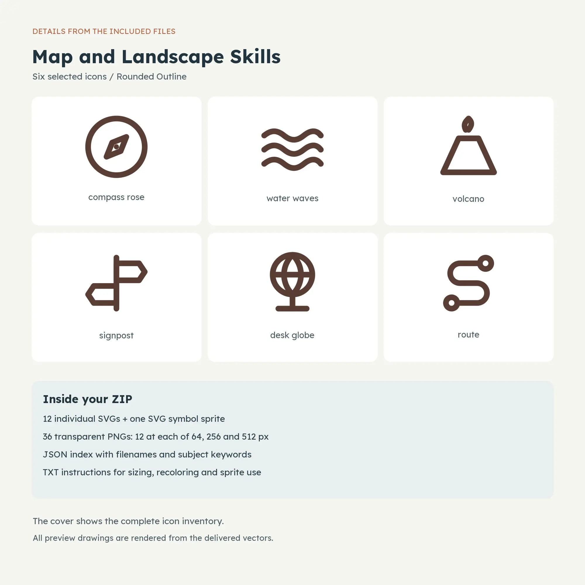
One ZIP contains the entire download. Inside are 12 SVG files plus 36 transparent PNG exports in three folders: 12 at 64 x 64, 12 at 256 x 256 and 12 at 512 x 512 px. The SVG sprite, JSON index and TXT instructions are also included; vector artwork scales from a 24-unit grid.
File specs
| Formats | PNG, SVG, JSON, TXT, ZIP |
|---|---|
| Dimensions | 24-unit SVG; PNG 64, 256, 512 px |
| Color space | sRGB |
| Downloadable files | 1 ZIP download · PNG, SVG, JSON, TXT, ZIP formats |
| Category | Icons |
| Last updated |
What you’ll download
- zipedu-icons-0117.zip299 KB
Usage
Educo states how these files may be used in the listing description. Check it before you buy, and message the shop if you’re unsure.
Reselling, sharing or redistributing the original files as they are isn’t allowed, including in free packs or AI training sets.